|
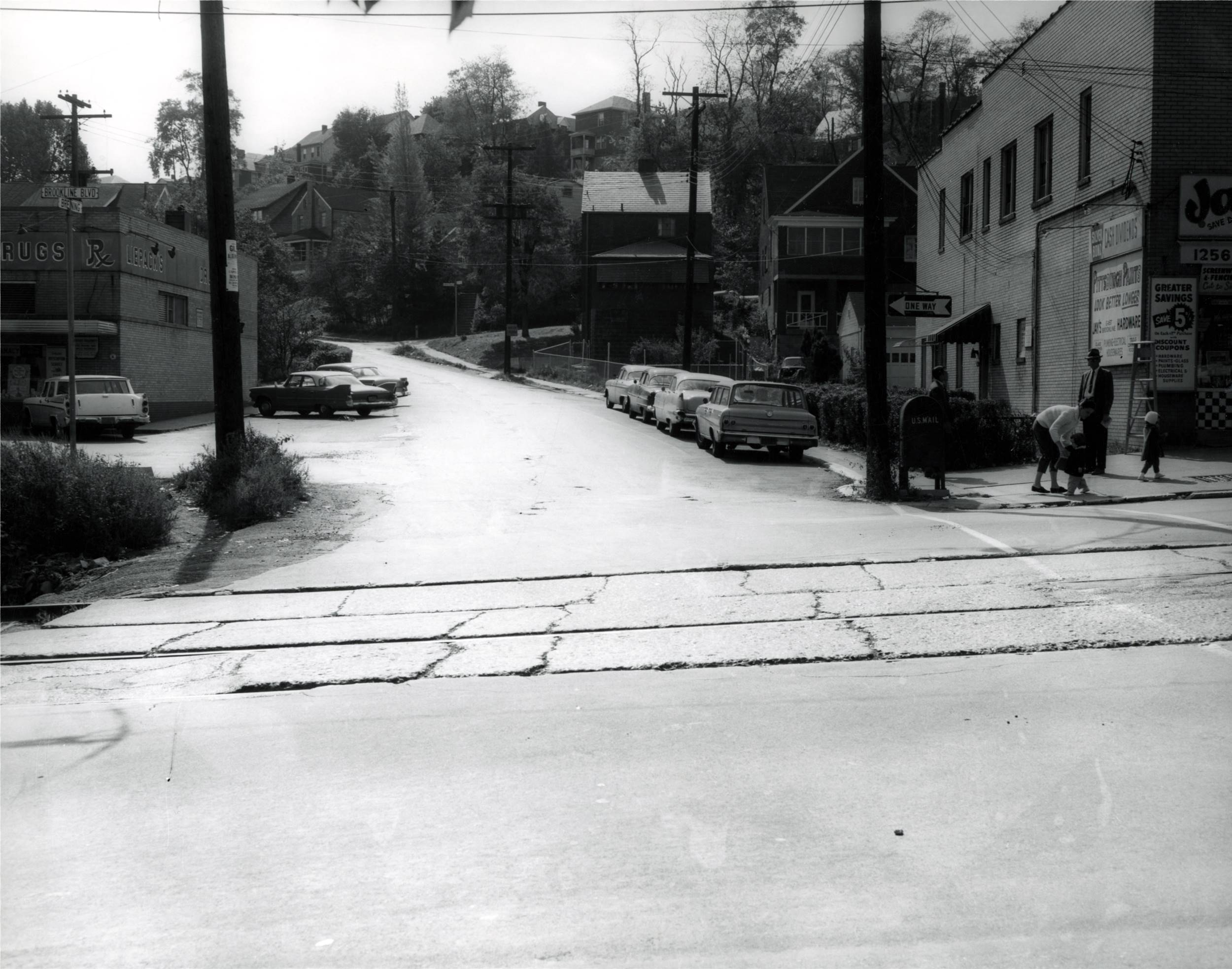
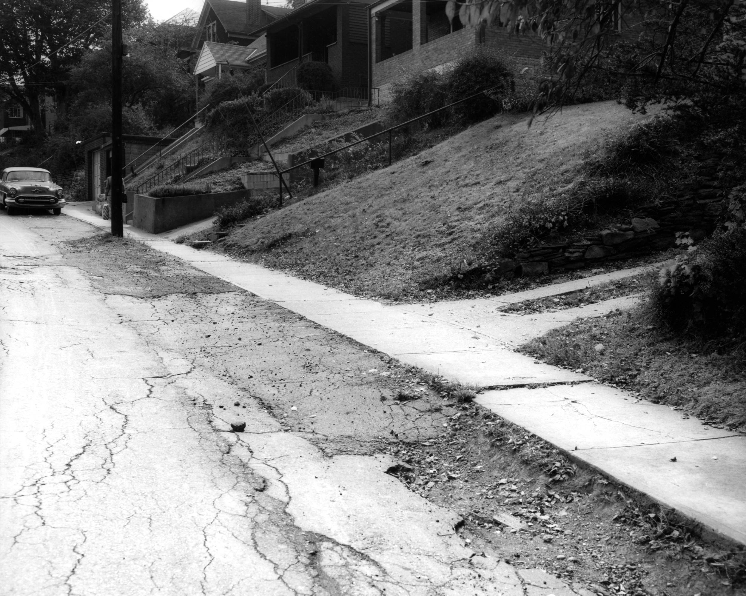
Looking up Breining Street from Brookline
Boulevard. The roadway would soon be widened and improved,
something that neighborhood residents had been urging the city to do for
over two decades.
The road was widened from the boulevard to Georgette Street at Carmalt
School.
The total cost of this civic improvement project was $425,000.
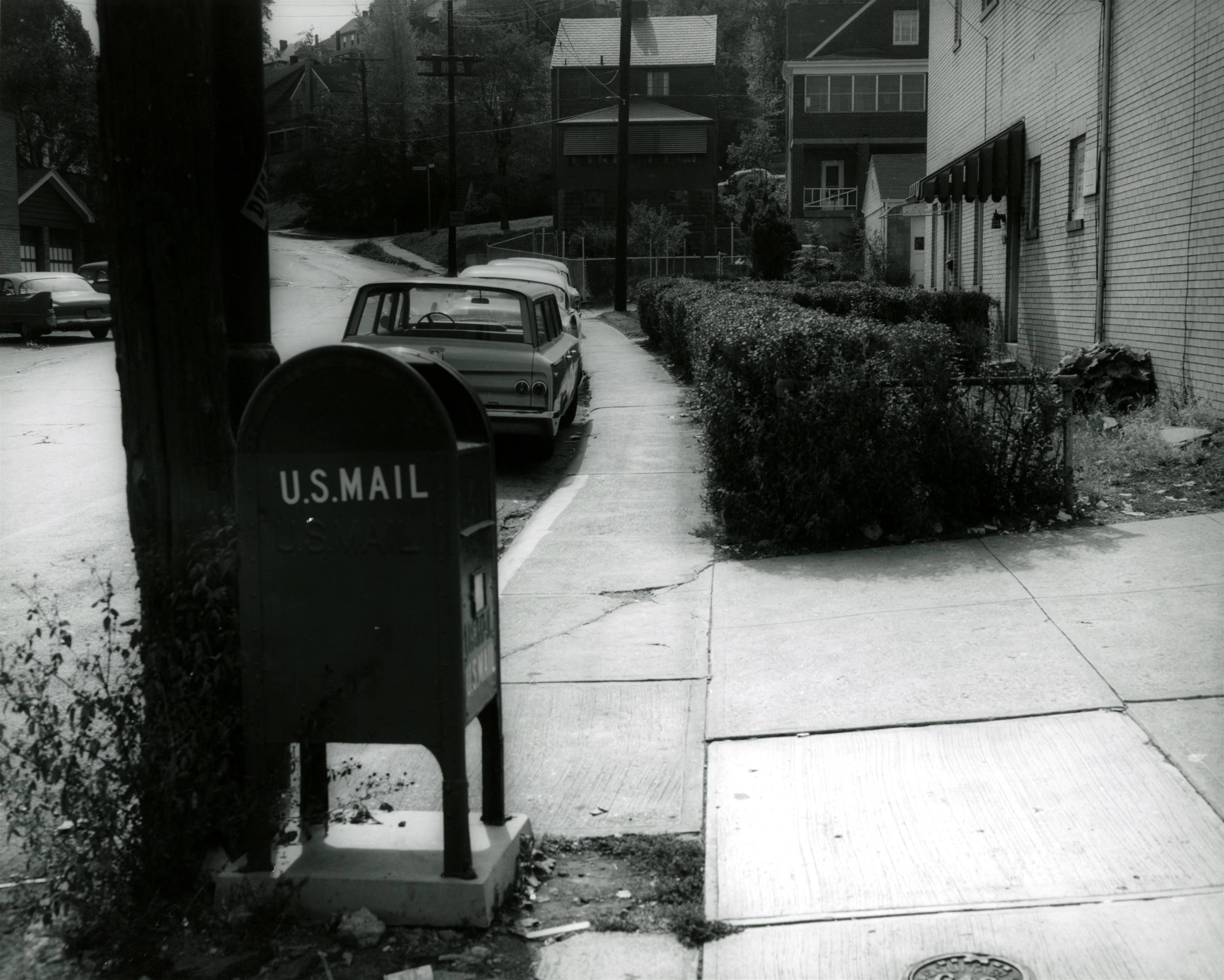
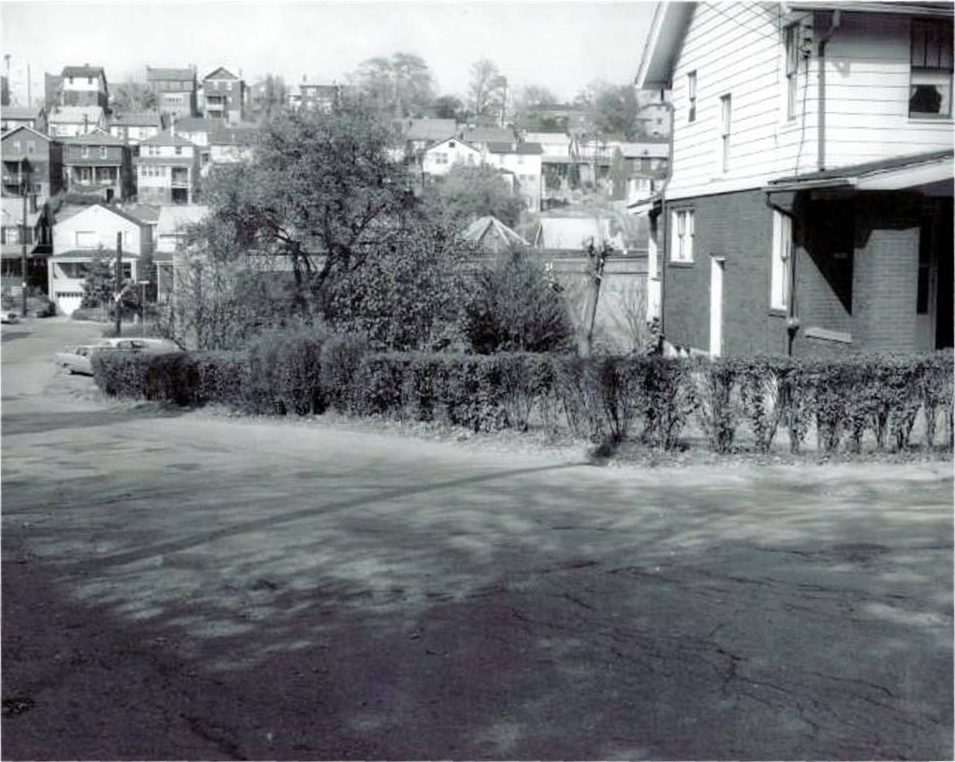
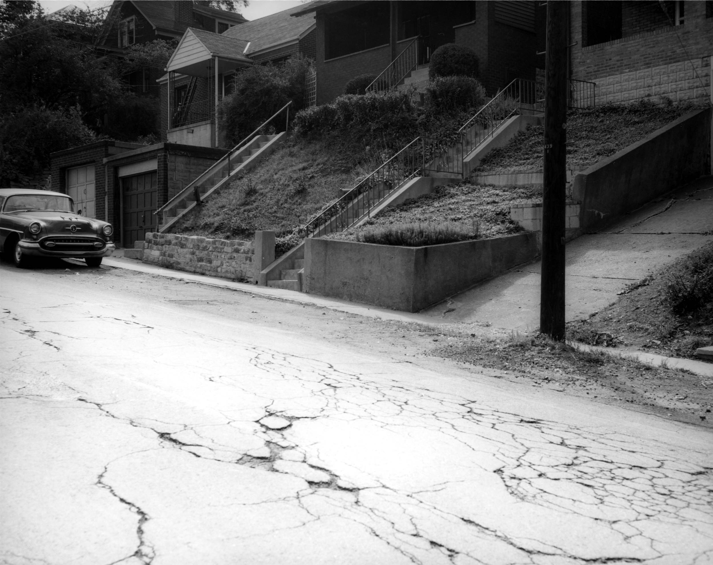
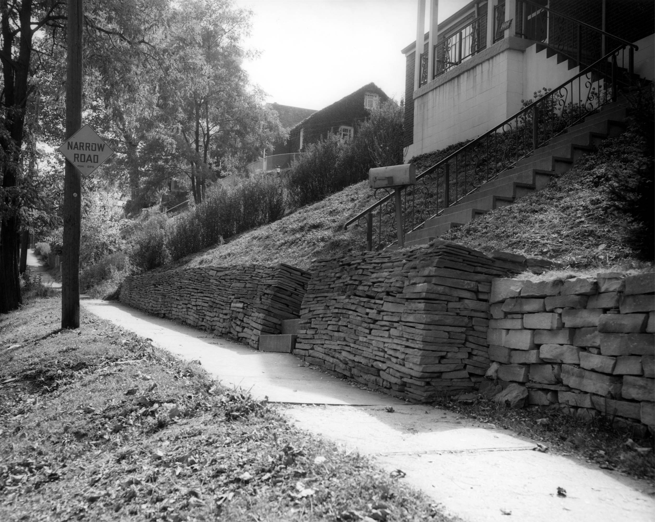
Mailbox at the corner of Brookline
Boulevard and Breining Street.
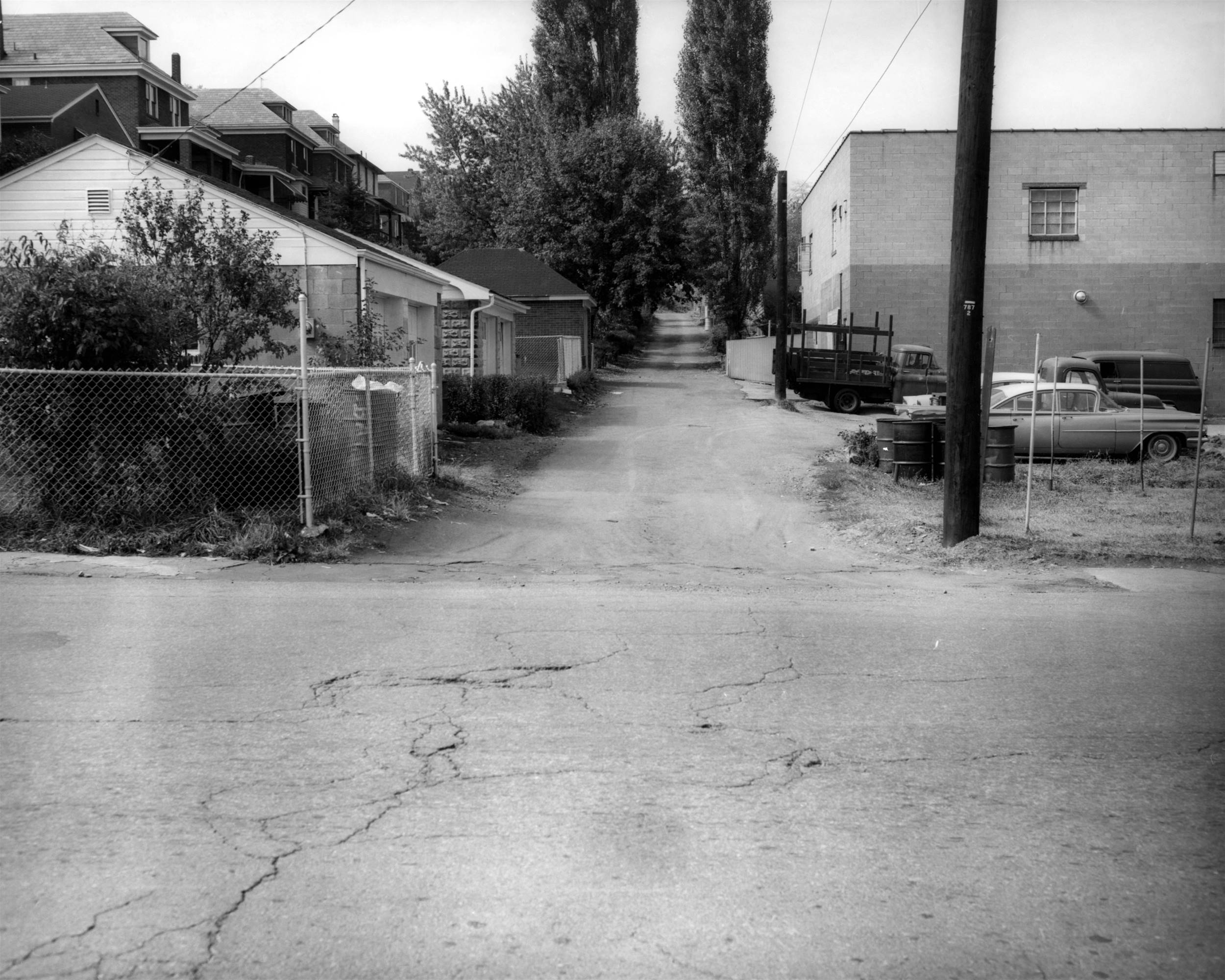
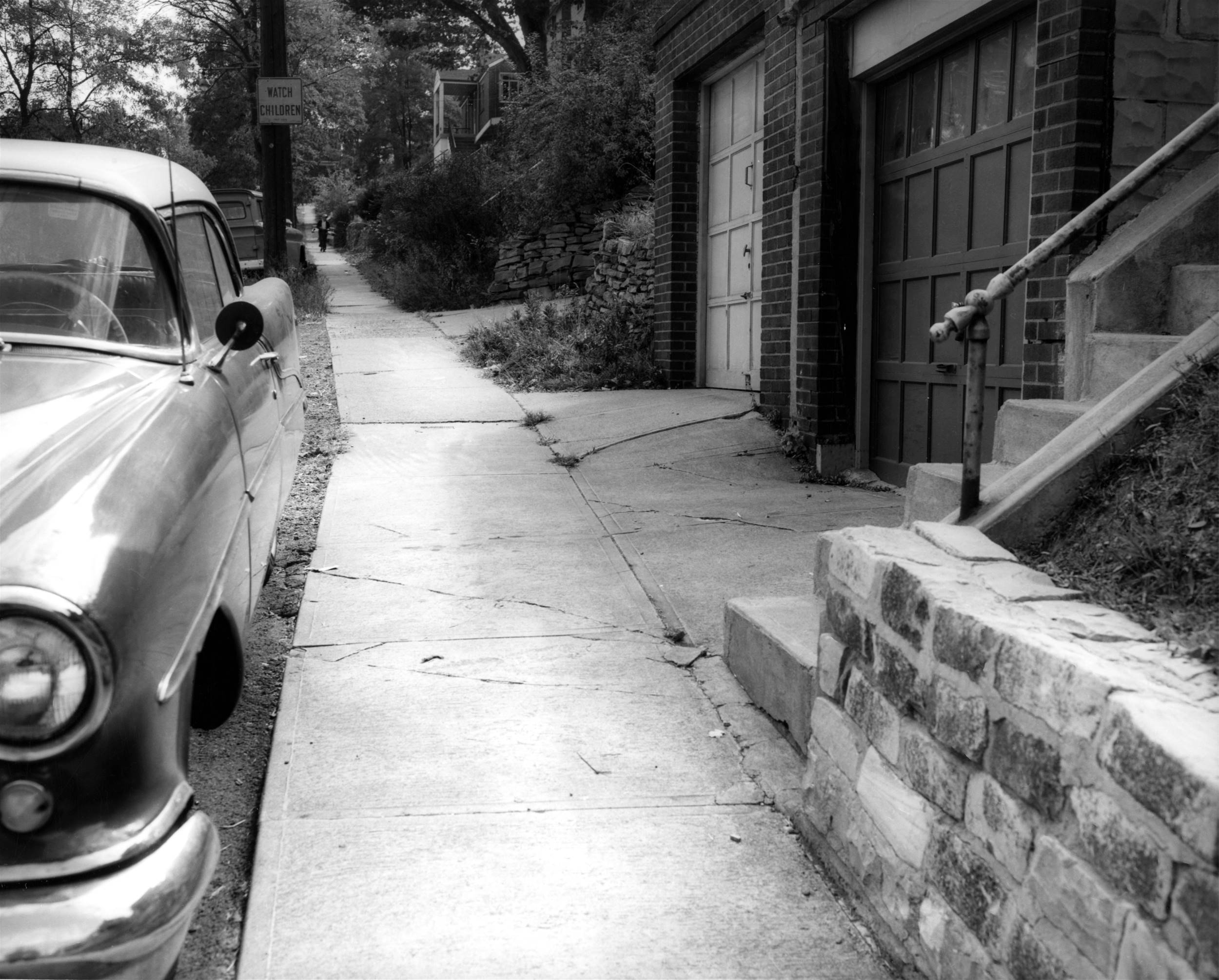
Looking up Clippert Street from Breining
Street. This section of Clippert forms the alleyway behind the
Oakridge Street (left) and Brookline Boulevard homes from this
point forward to Merrick Avenue.
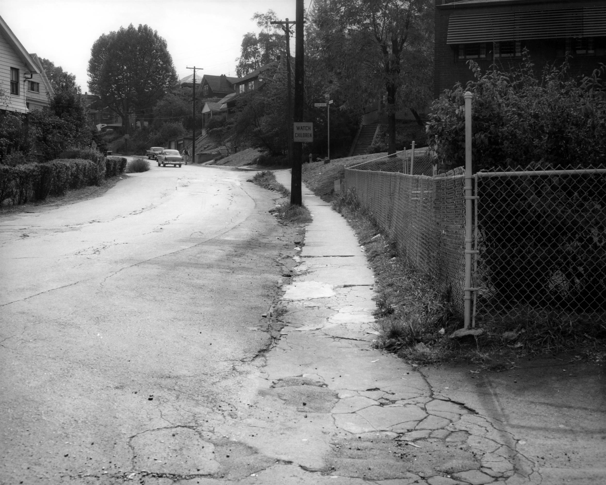
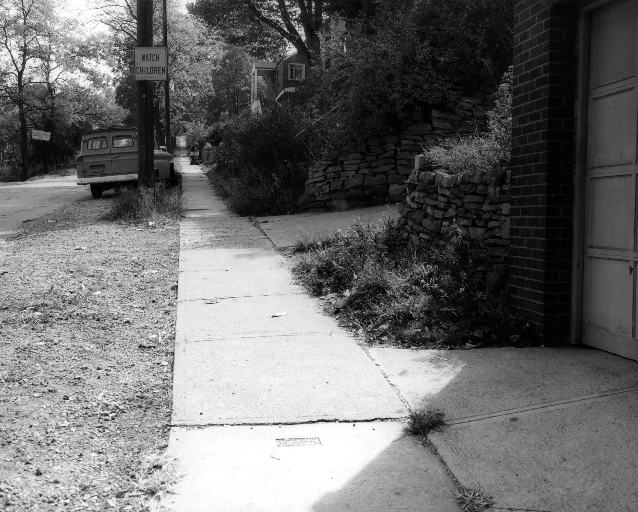
Looking up Breining Street from Clippert
in the direction of Oakridge Street.
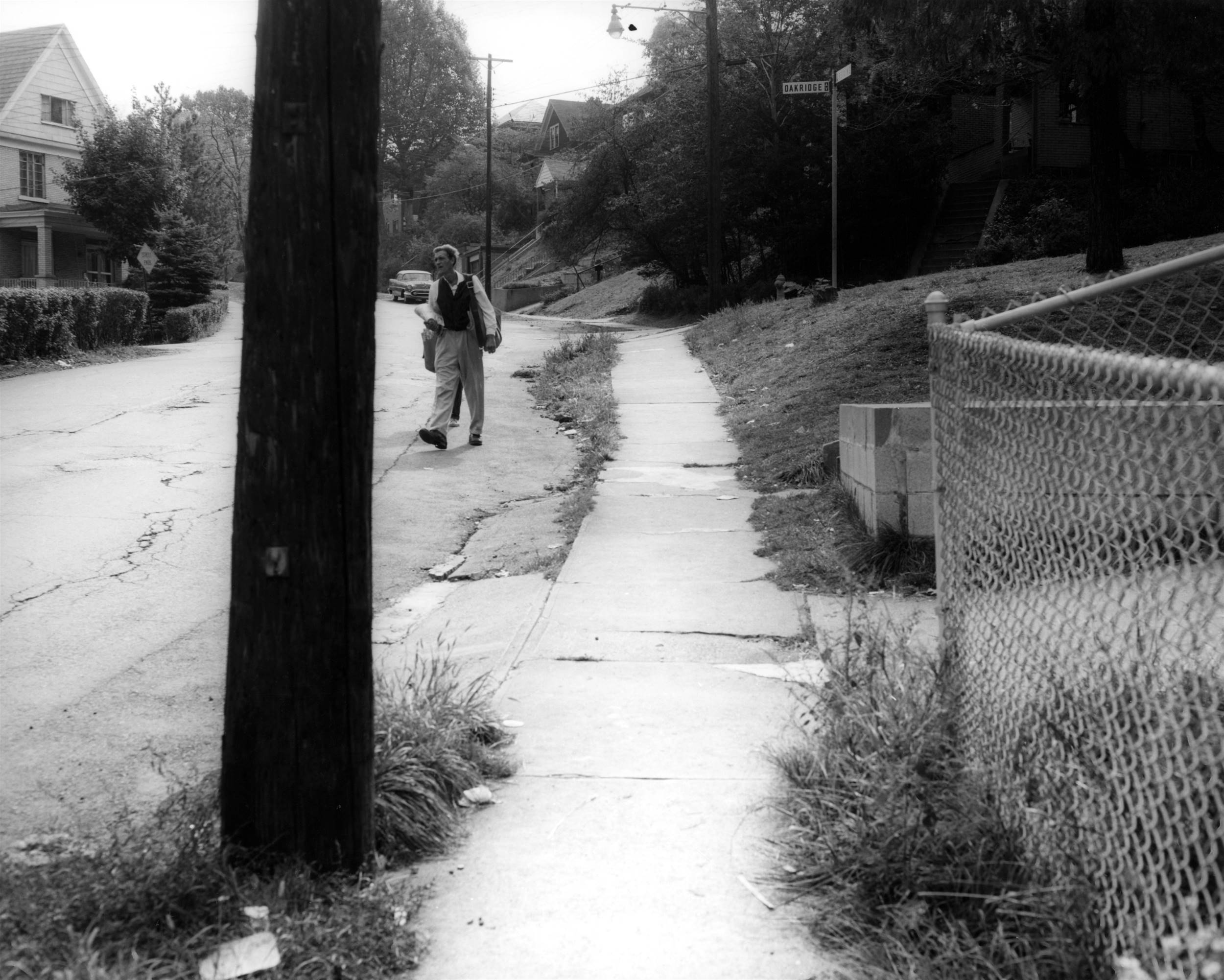
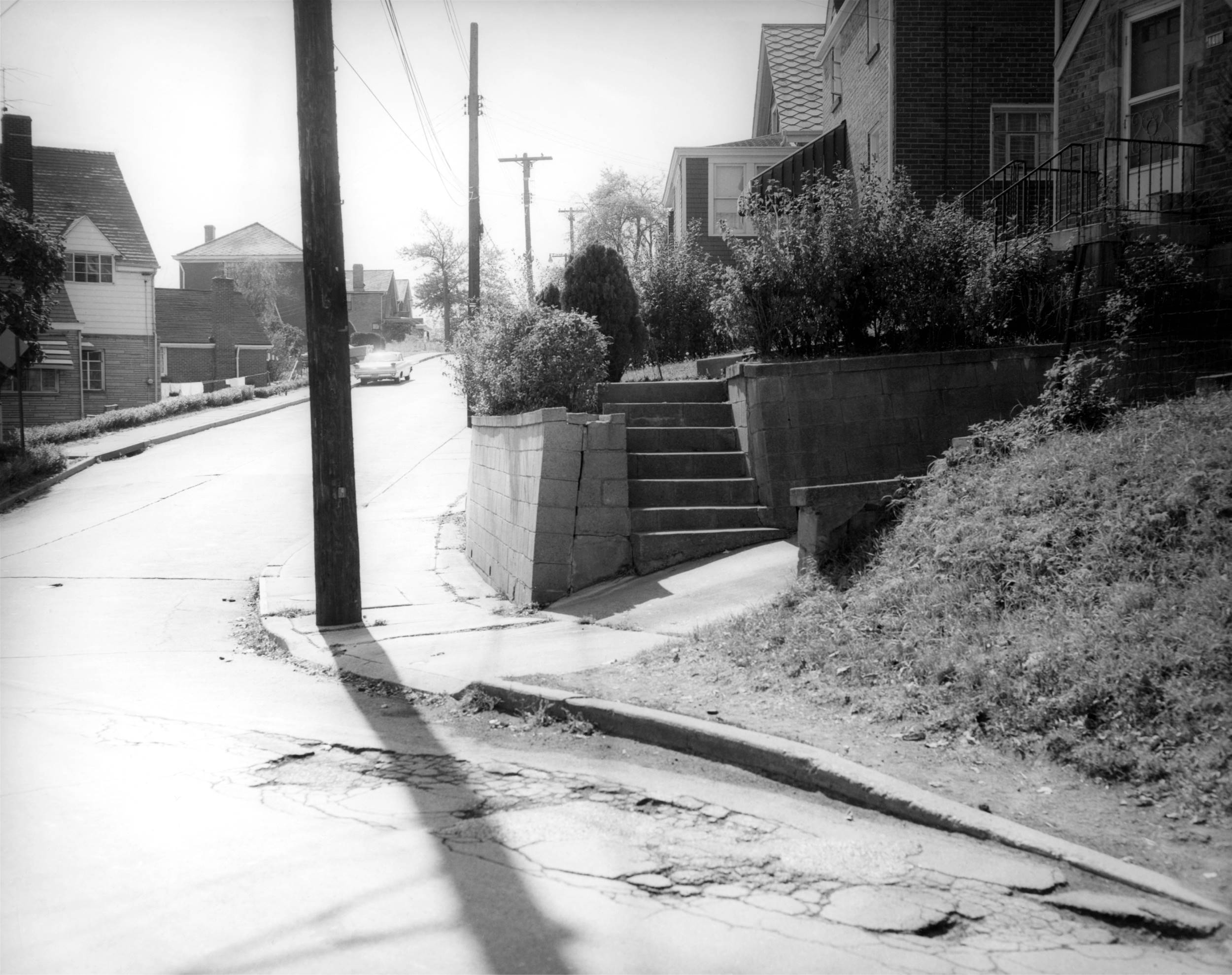
Looking up Breining Street towards the
Oakridge Street intersection.
From Oakridge Street, looking down
Breining towards Brookline Boulevard.
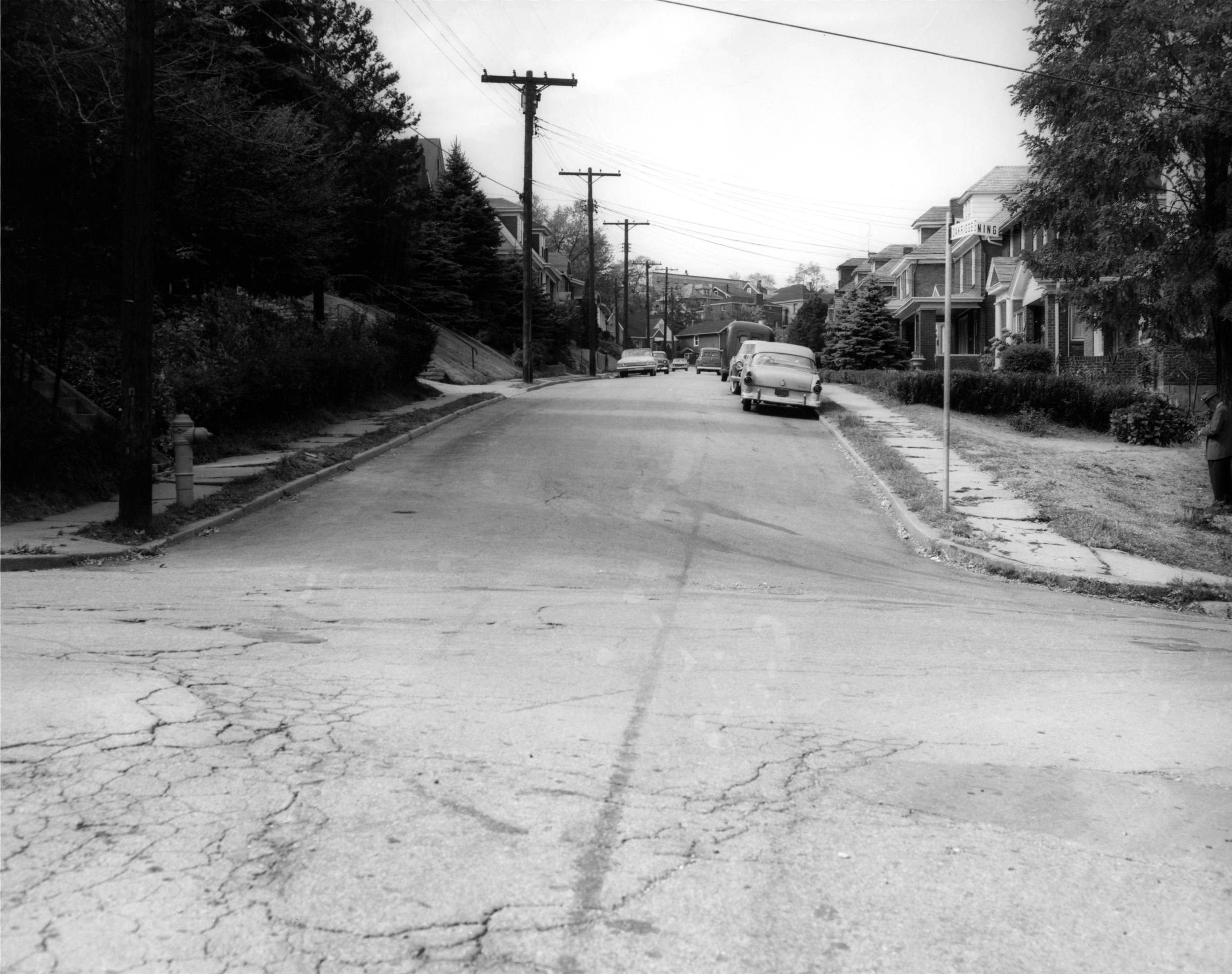
From Breining Street, looking up Oakridge
Street in the direction of Merrick Avenue.
From Oakridge Street, looking up Breining
Street towards the entrance to the Brookline Community Center.
The driveway to the park is located in the distance, to the left, where
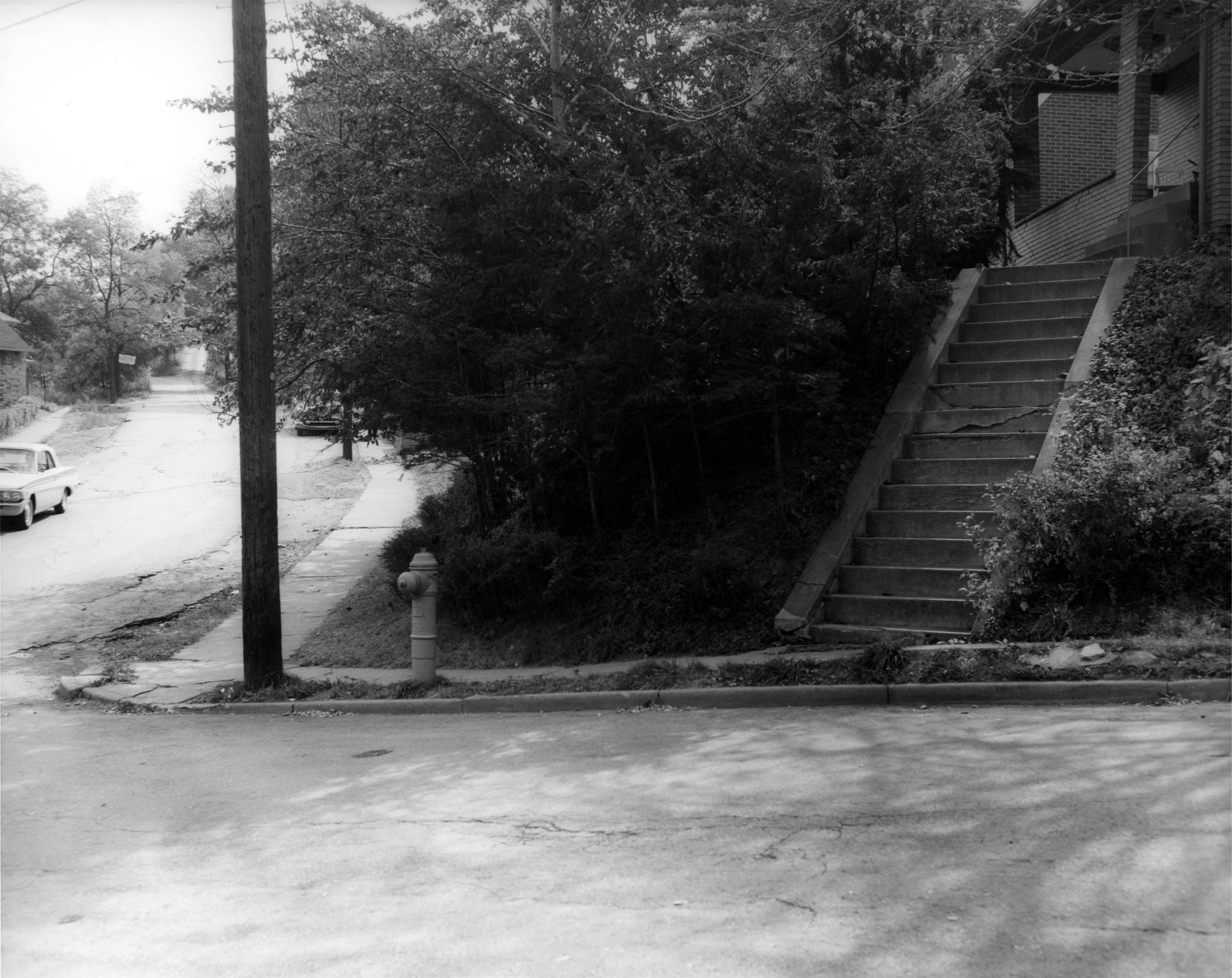
the white sign is posted.
The steps in the foreground lead to the home at 1300 Breining
Street.
Looking uphill from the home at 1310
Breining Street.
The homes at 1322, 1316, 1312, 1310
Breining Street.
The garage doors in front of 1316
Breining Street.
Looking uphill from 1316
Breining Street.
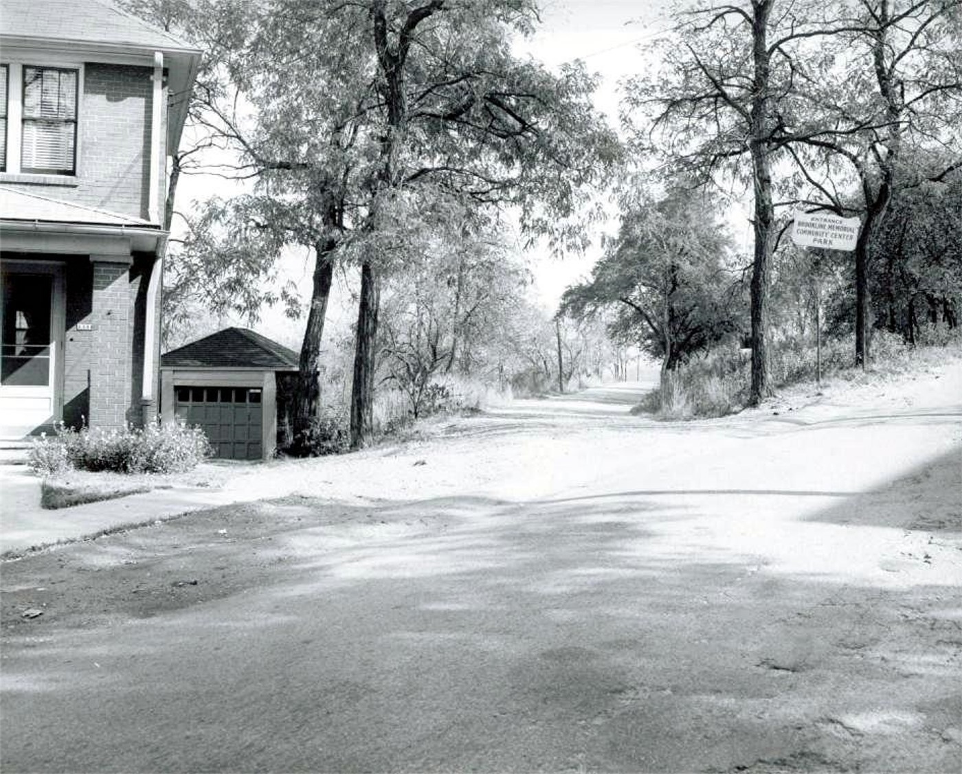
The home at 1331 Breining Street
and the entranceway to the Brookline Community Center Park.
This roadway was once the driveway leading to the Anderson Farm.
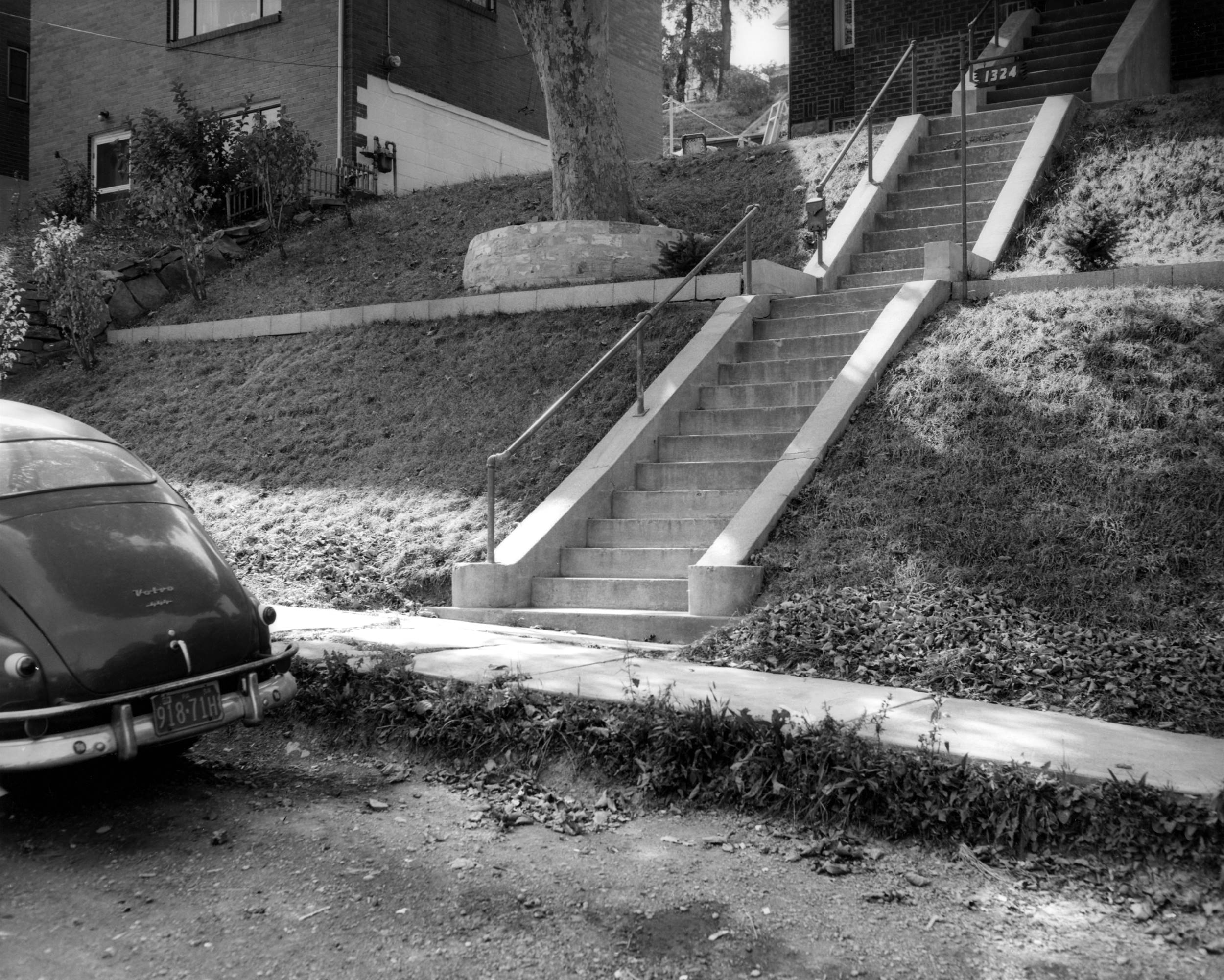
The concrete steps leading to 1324
Breining Street.
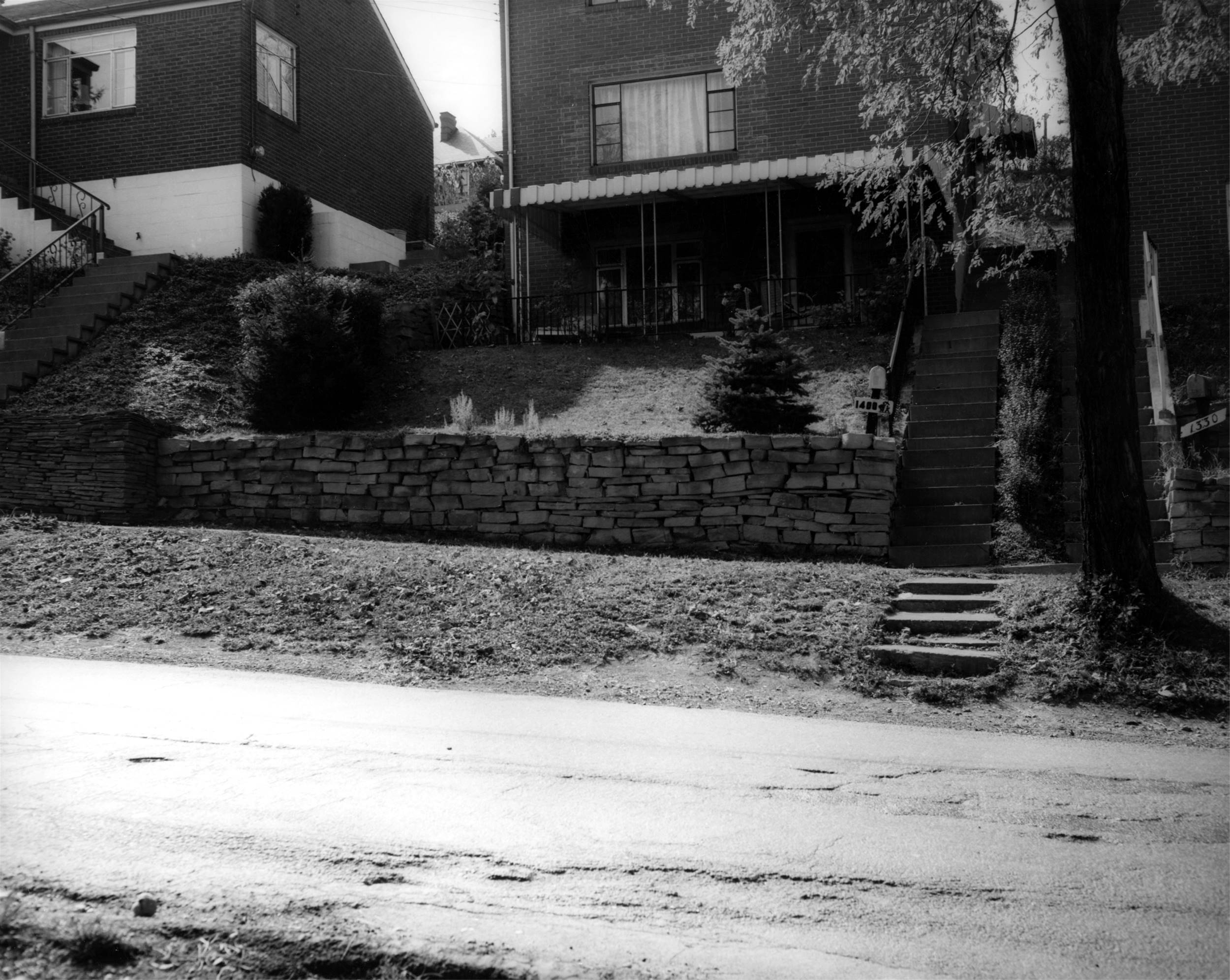
The home at 1400 Breining
Street.
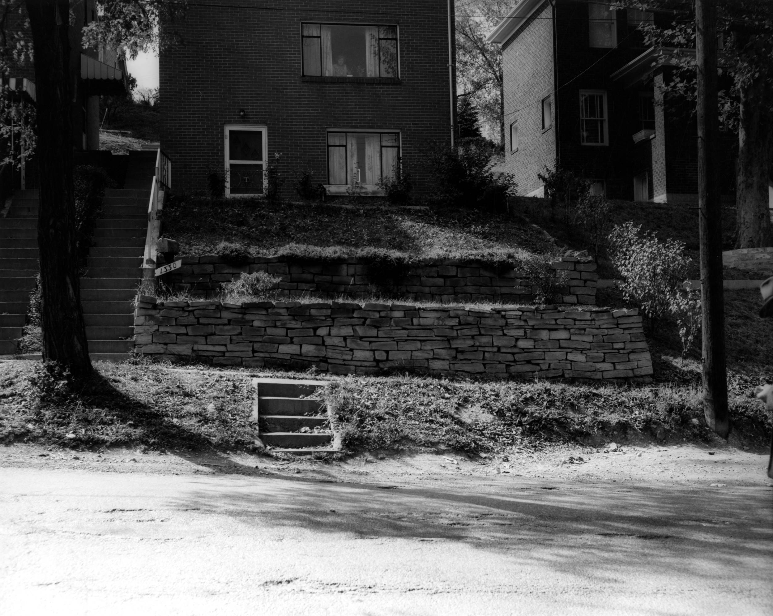
Homes at 1404 and 1330 Breining
Street.
Looking uphill, in the direction of
Hobson Street, from the front of 1330 Breining Street.
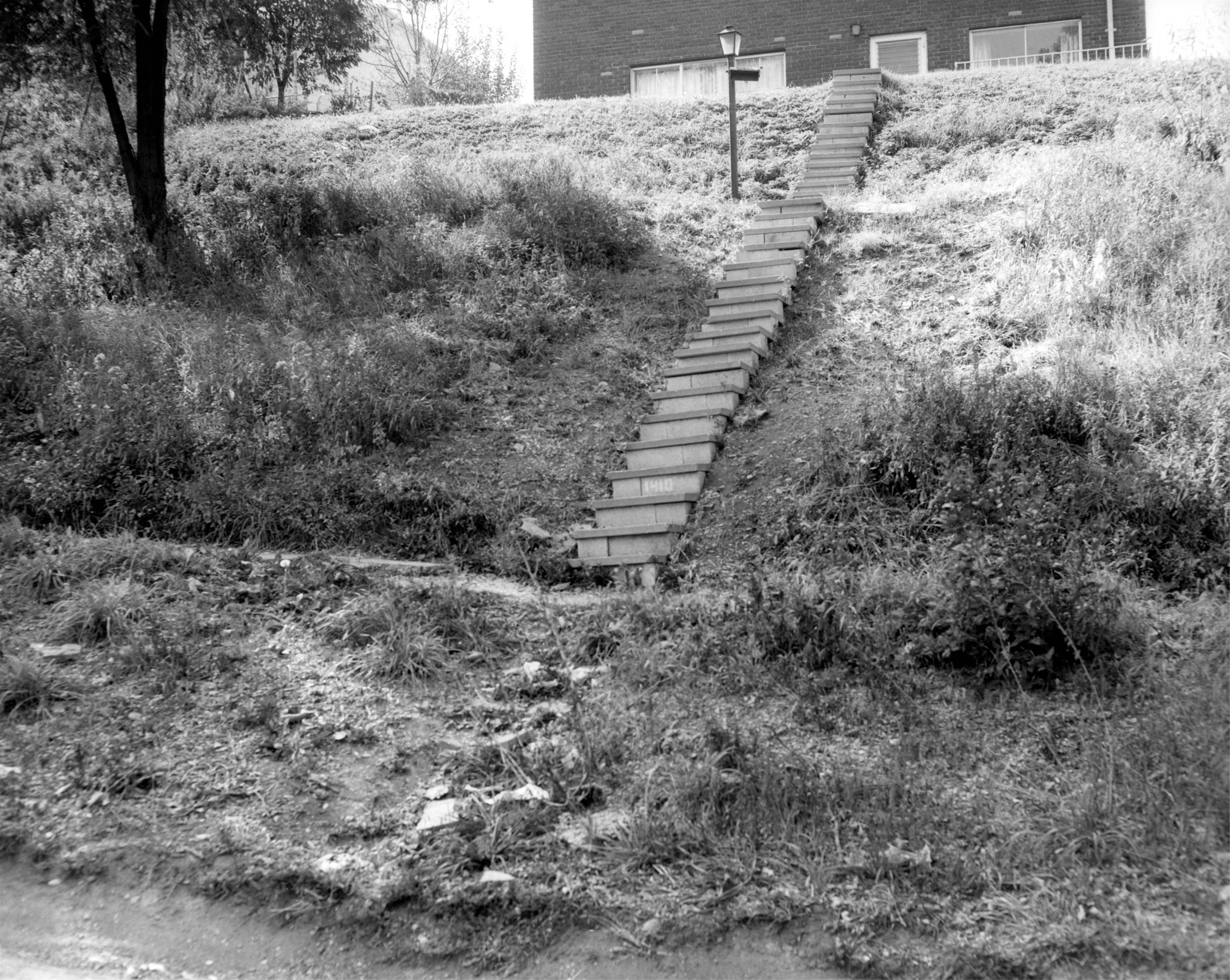
Steps leading to 1410 Breining
Street.
From the front of 1410 Breining Street,
looking up the cutoff towards the home at 2201 Hobson Street.
Looking towards the Hobson Street
intersection from 1420 Breining Street.
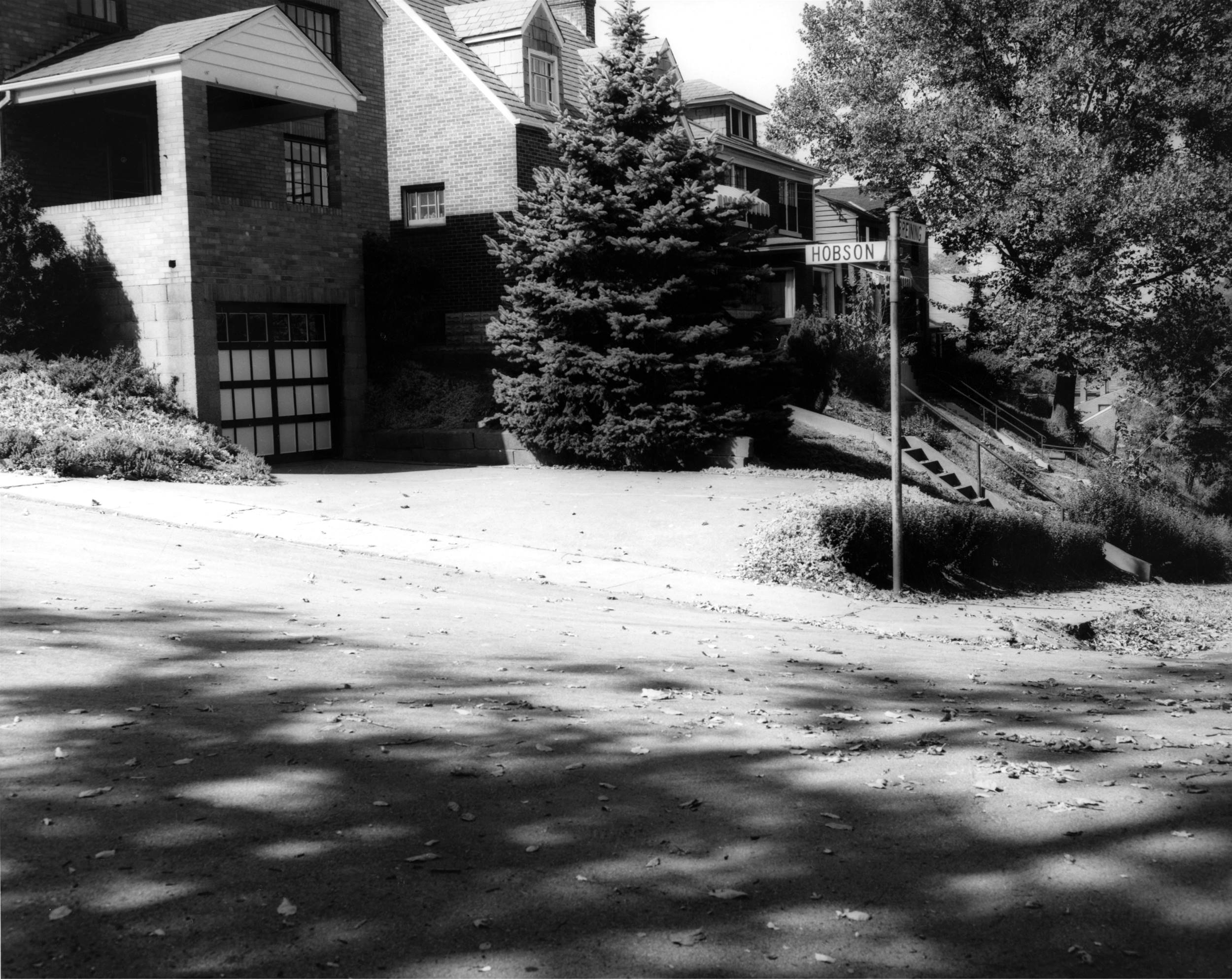
The intersection of Hobson Street
and Breining Street.
The intersection of Hobson Street
and Breining Street. This short cutoff would be eliminated
when Breining Street was widened. It would be replaced with a wide
set of city steps.
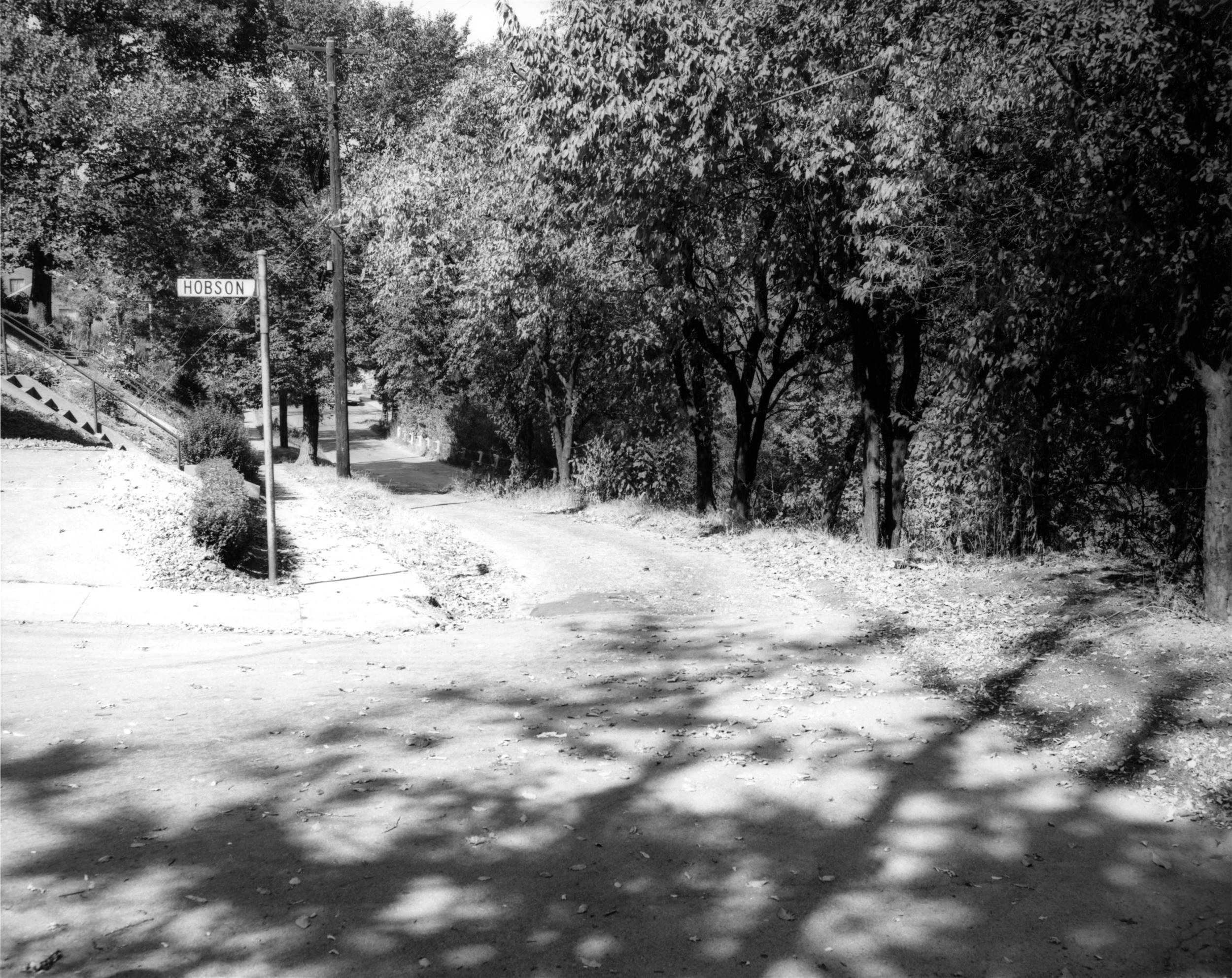
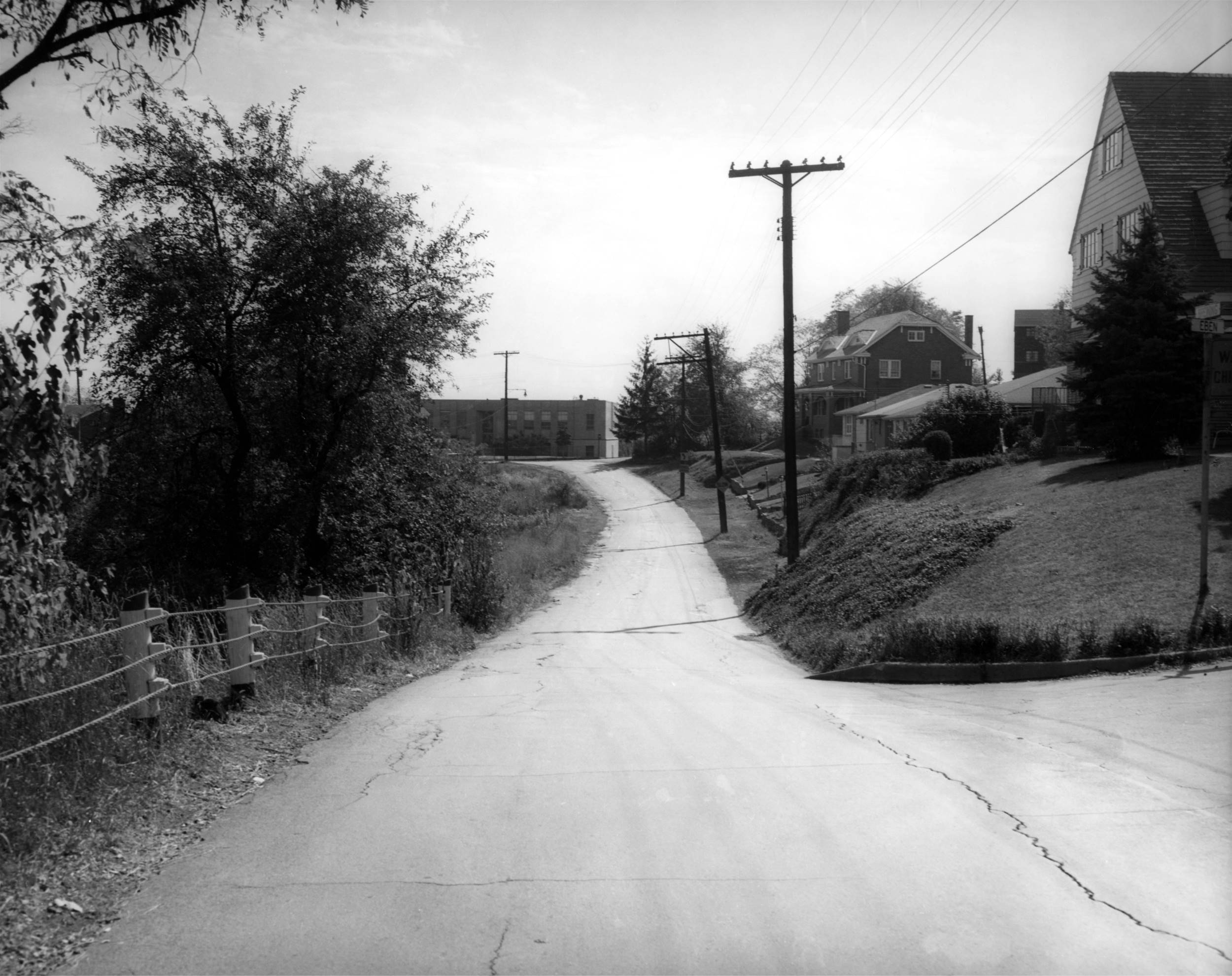
From the location of the future Hobson
Street steps, looking downhill in the direction of Brookline
Boulevard.
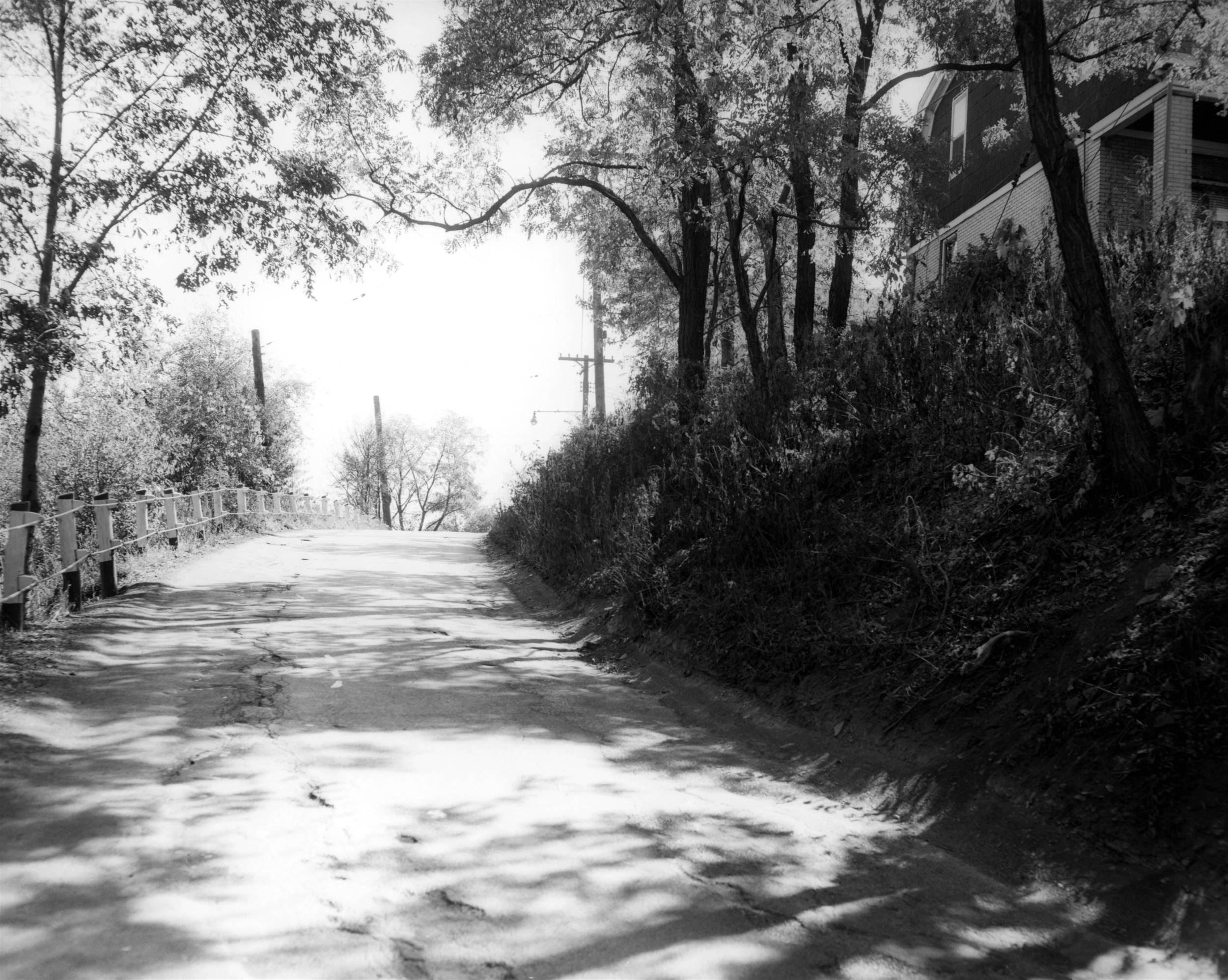
From the location of the future Hobson
Street steps, looking uphill in the direction of Eben Street.
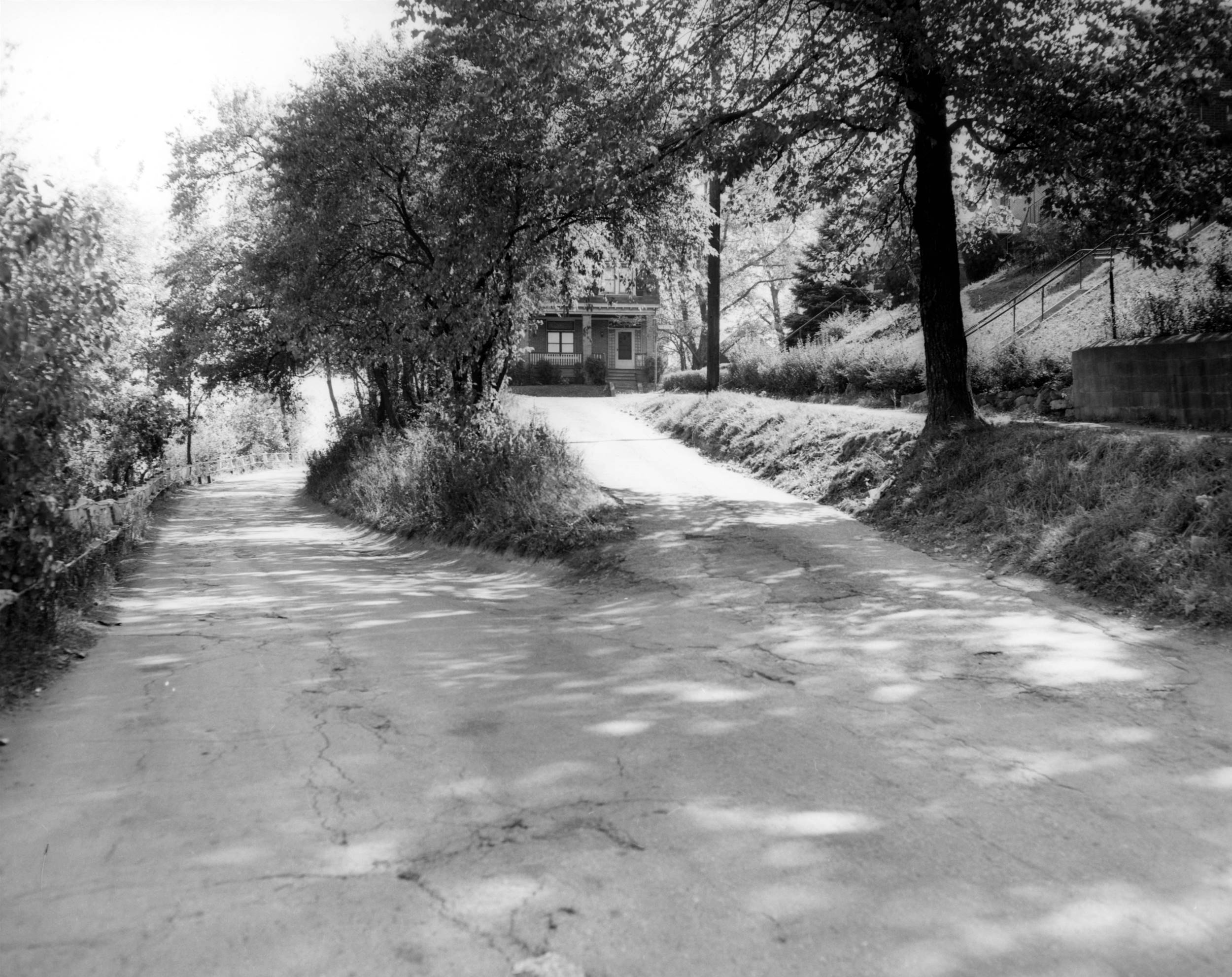
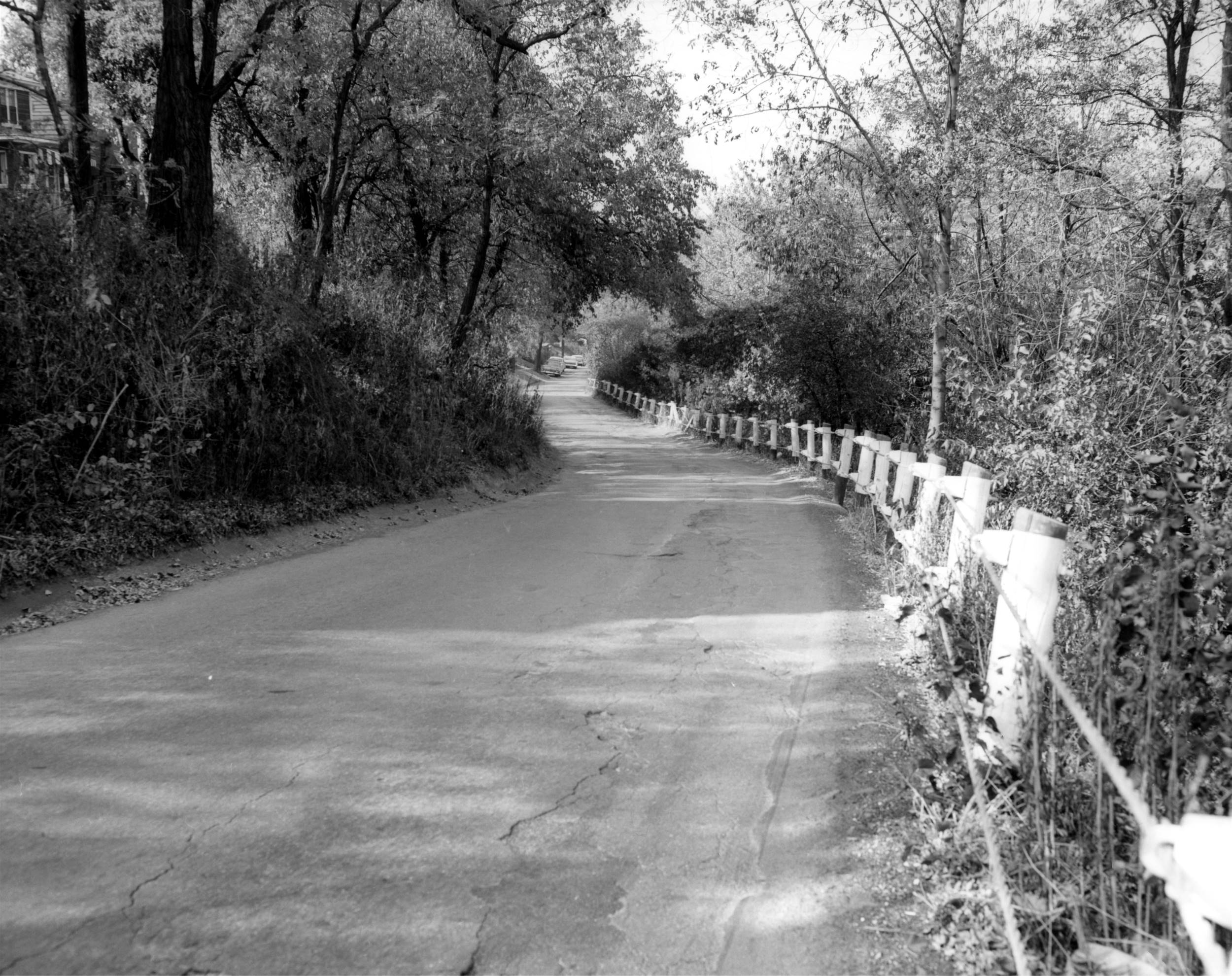
Looking up Eben Street from Breining
Street.
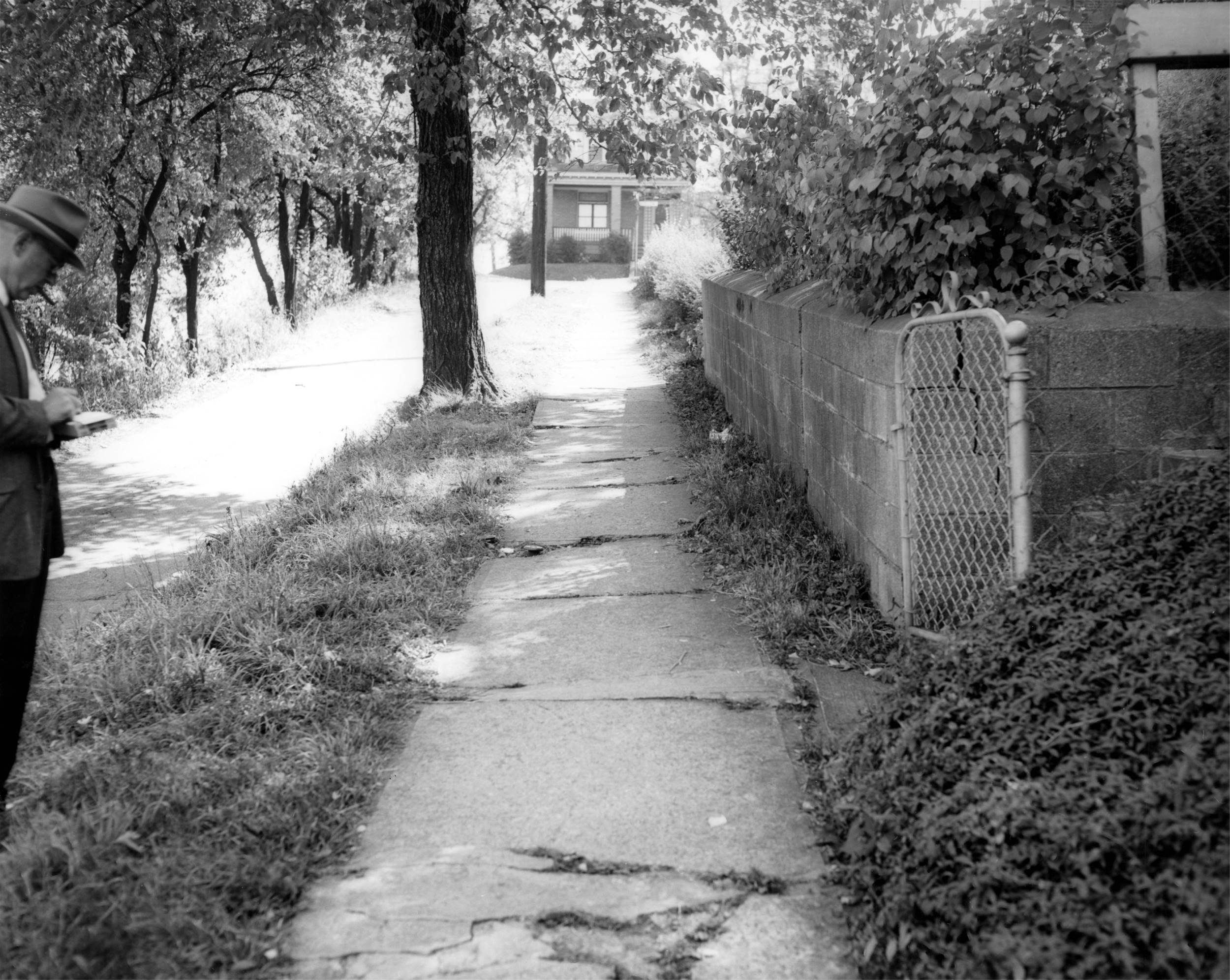
Looking from the Eben Street intersection
towards Shire Place and Carmalt School.
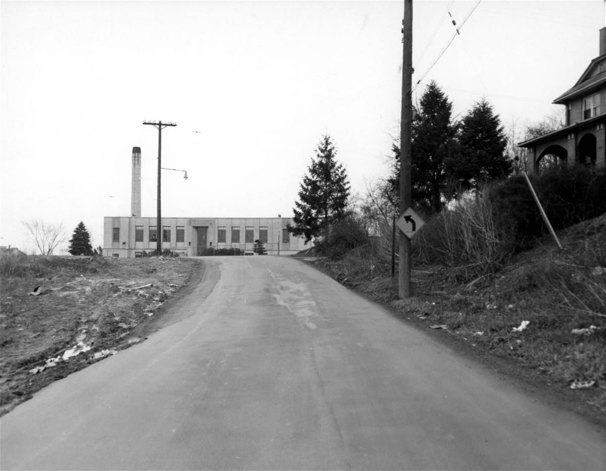
Looking in the direction of Shire Place
and Carmalt School. This photo was taken in 1955.
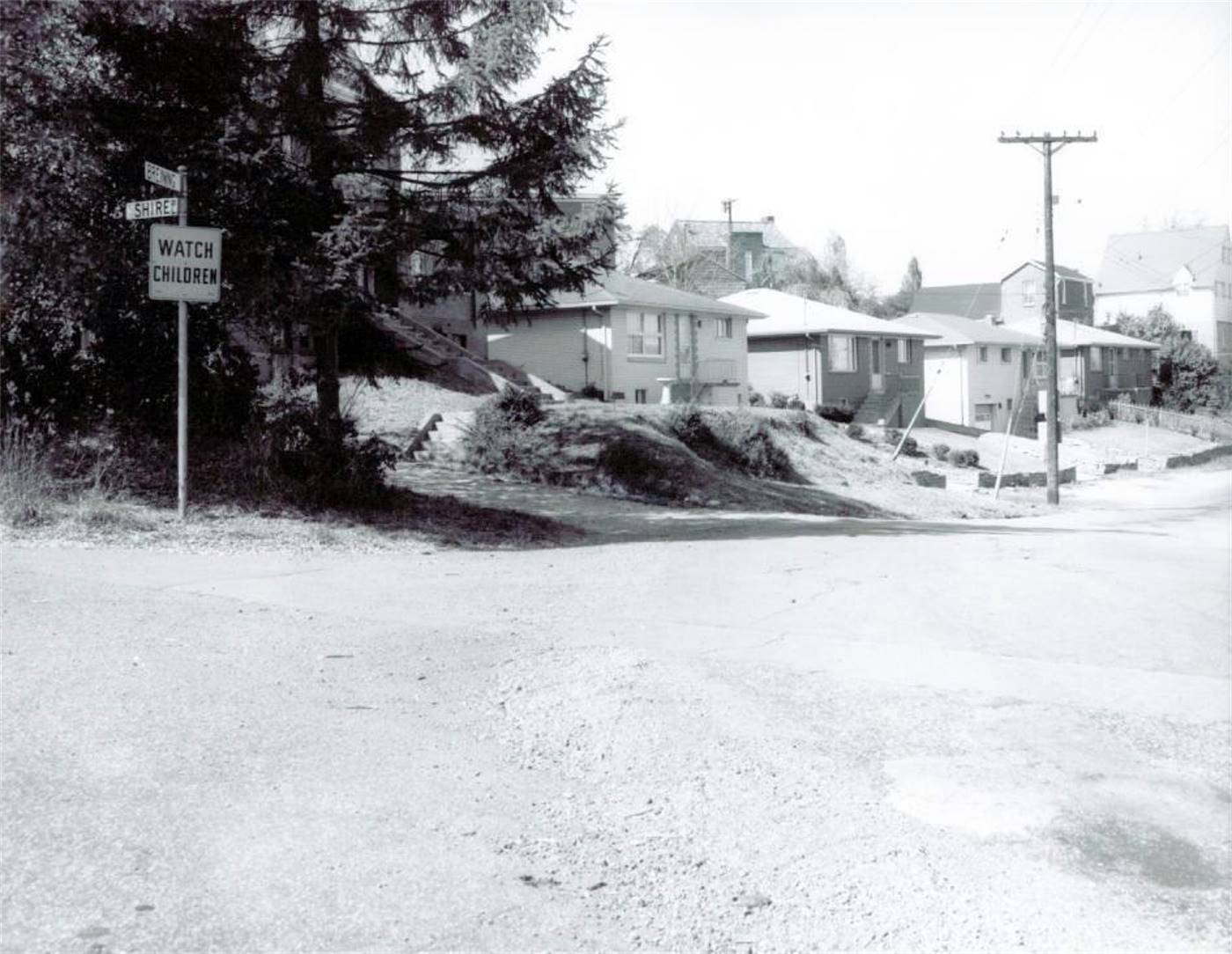
The intersection of Breining Street
and Shire Place.
Followup
Photos
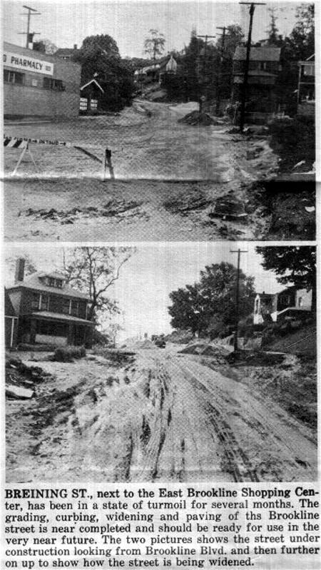
Brookline Journal clipping
- 1964.
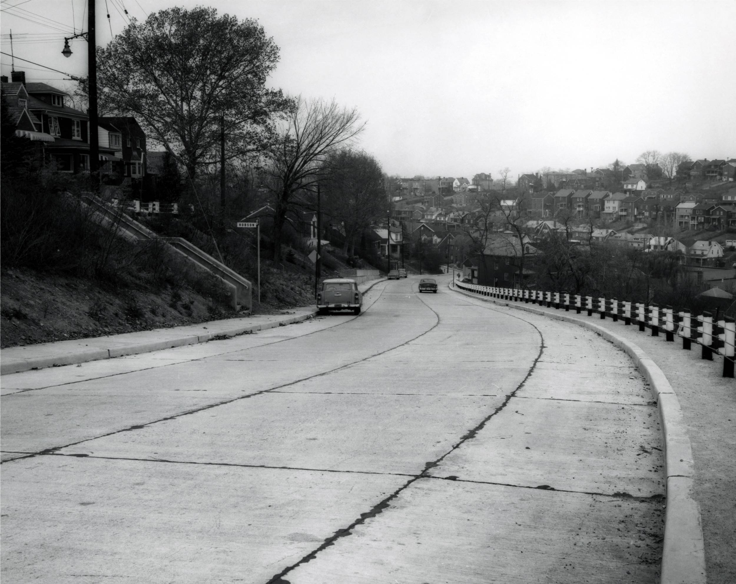
Looking down the widened and improved
Breining Street, from near Eben Street. The small cutoff to
Hobson Street has been eliminated, replaced by a wide set of
city steps.
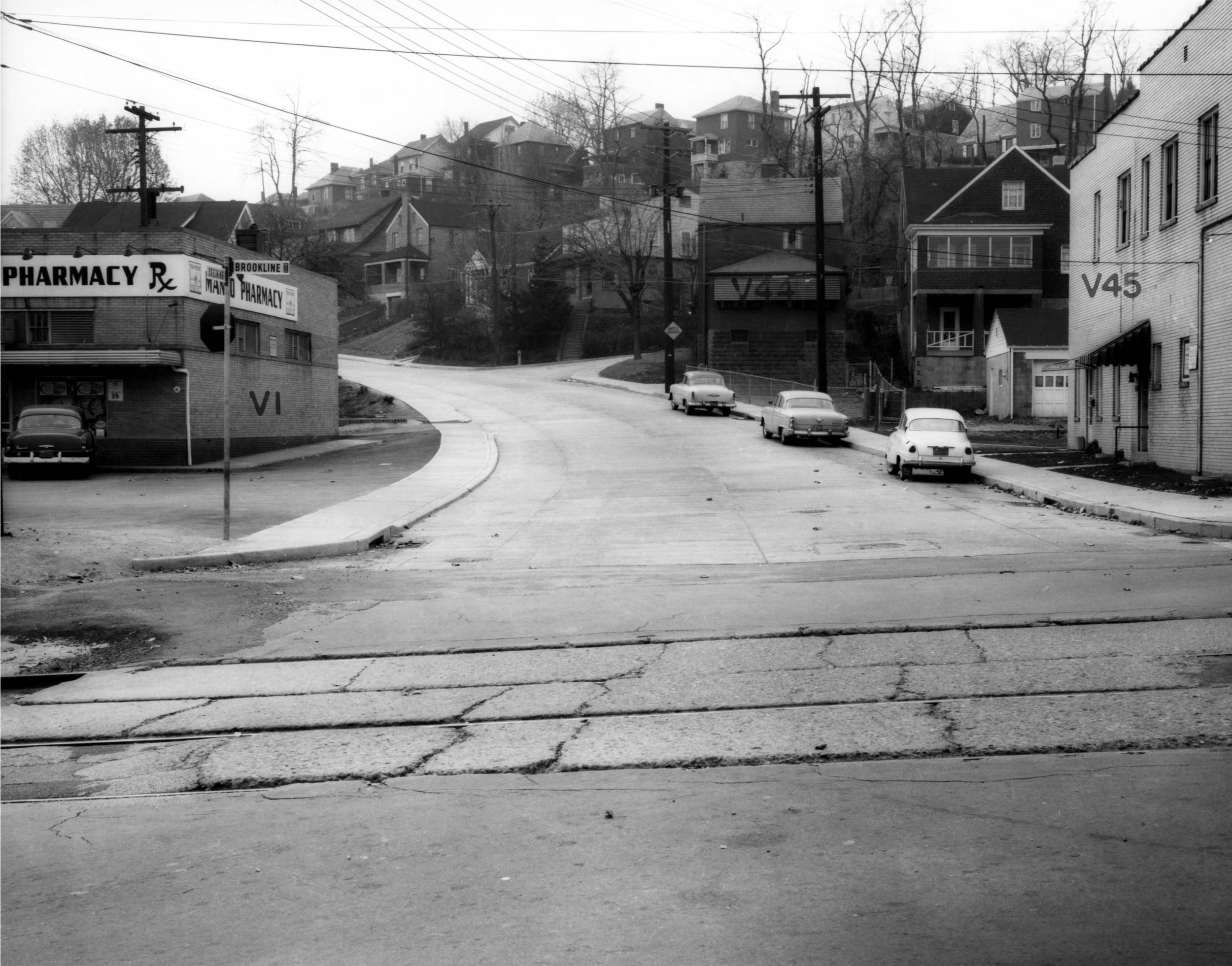
Looking up the widened Breining
Street from Brookline Boulevard.
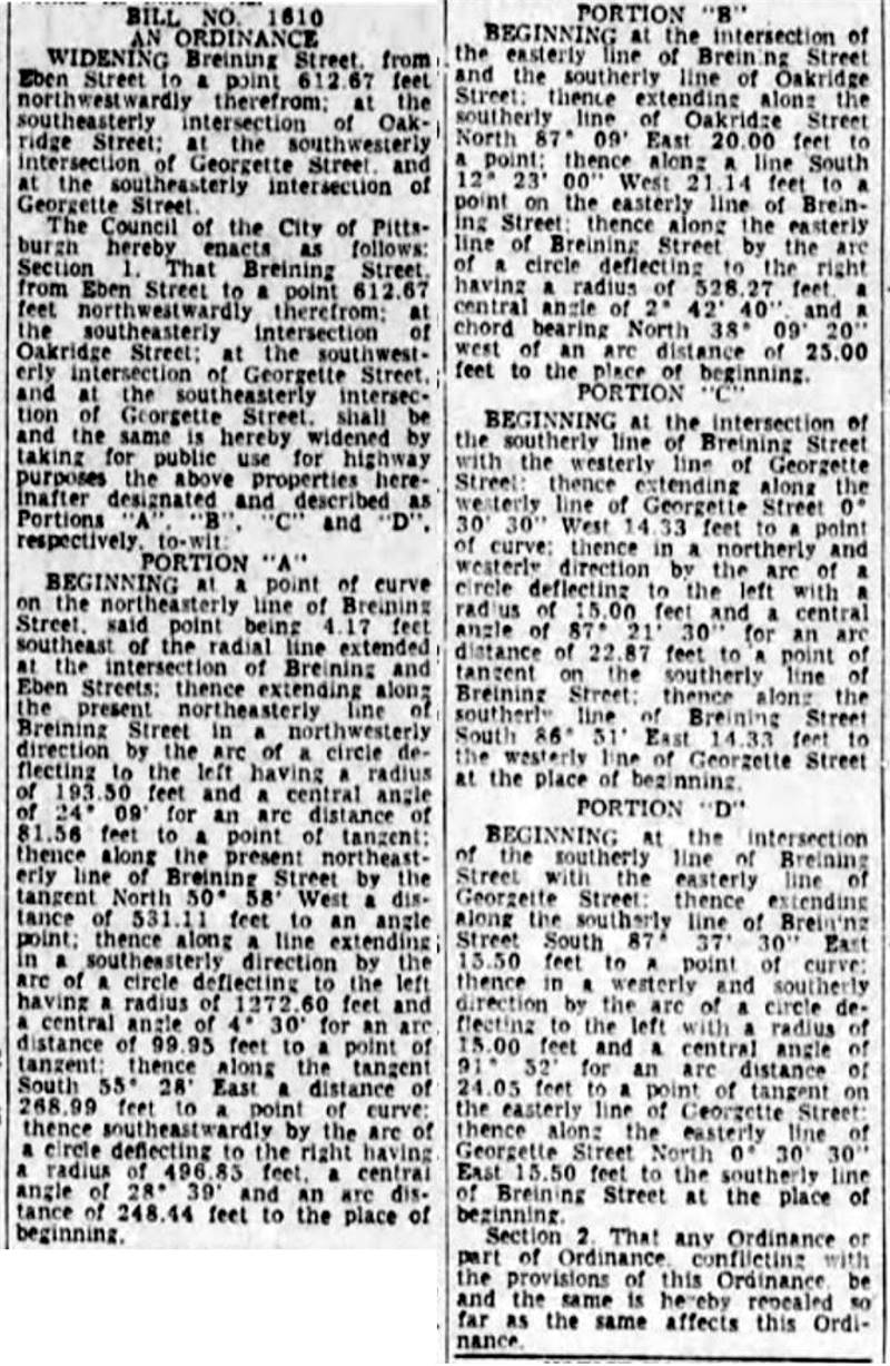
Pittsburgh Press - March 23, 1963 - City
Ordinance No. 1610
for the widening and improving of Breining Street.
* Photos from the City of Pittsburgh Online Archive * |